Free Shipping on Orders over $100 🚚
Free Shipping on Orders over $100 🚚
Shop Clothing
Shop Footwear
Shop Hike & Camp
Shop Climbing
Accessories
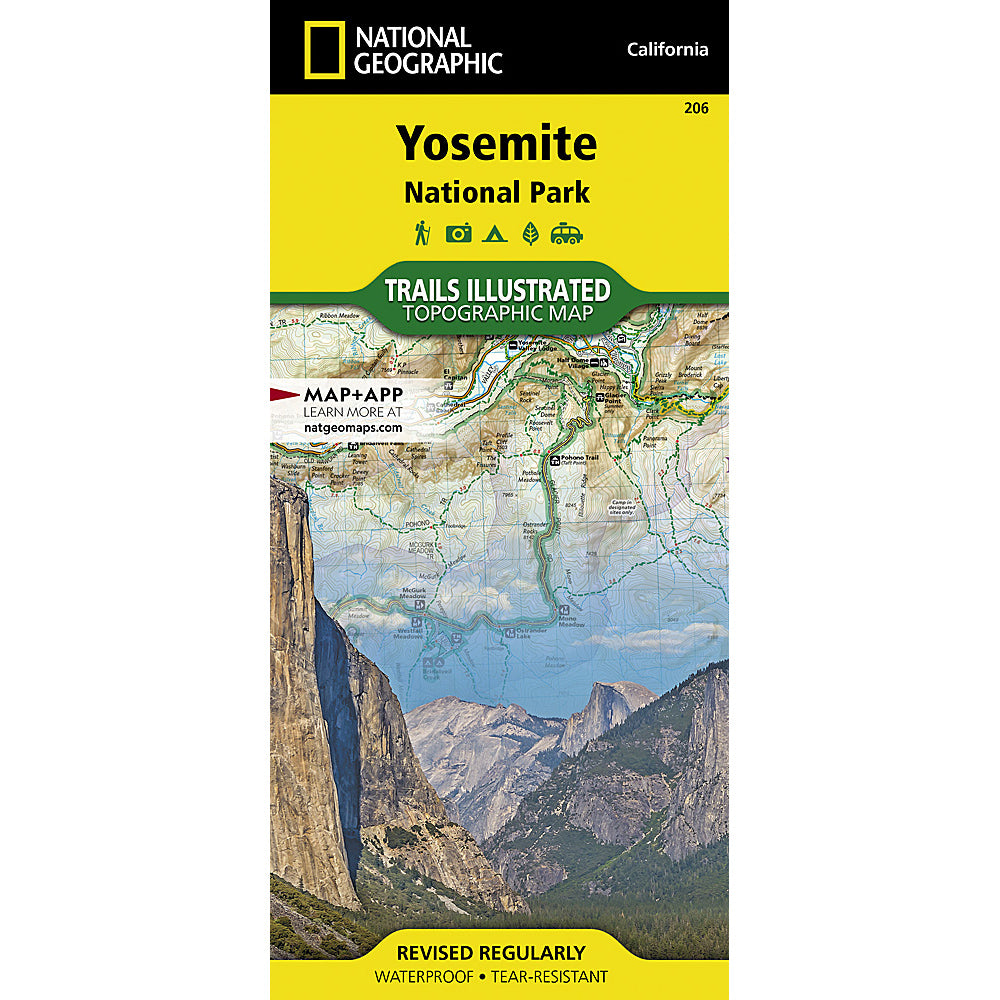
Yosemite National Park Map (National Geographic) – Hiking & Trail Map
$14.95
Planning a trip to Yosemite National Park? This detailed Yosemite National Park map from National Geographic is an essential tool for navigating Yosemite’s hiking trails, campgrounds, and park roads.
From Yosemite Valley to Tuolumne Meadows, this map helps you explore top destinations like Half Dome, El Capitan, Glacier Point, and the park’s extensive trail system with confidence.
Designed for hikers, backpackers, and first-time visitors alike, this map clearly highlights trails, roads, campgrounds, and key points of interest—making it easy to plan your route and make the most of your trip.
Why you need a physical map in Yosemite:
• Cell service is limited or nonexistent in much of the park
• GPS directions can be unreliable in remote or mountainous areas
• Trail navigation is easier with a detailed, full-view map
• Essential for planning hikes, backpacking routes, and scenic drives
Whether you're hiking in Yosemite Valley or heading into the high country, this map is a reliable companion for any adventure.
Available now from Eastside Sports in Bishop, California—a trusted Eastern Sierra outfitter and a convenient stop on your way to Yosemite National Park.
FAQs
Do I need a physical map for Yosemite National Park?
Yes—many areas of Yosemite National Park have little to no cell service, making a physical map the most reliable navigation tool.
Will Google Maps work in Yosemite?
Apps like Google Maps may not load directions without service, especially outside Yosemite Valley.
What does this Yosemite map include?
This map shows hiking trails, major roads, campgrounds, and key points of interest throughout the park.
You may also like
Recently viewed products
Subscribe
Sign up to get the latest on sales, new releases and more …