PATAGONIA CLIMBING LINK-UP EVENT IN BISHOP | APRIL 3-5!!!
PATAGONIA CLIMBING LINK-UP EVENT IN BISHOP | APRIL 3-5!!!
Shop Clothing
Shop Footwear
Shop Hike & Camp
Shop Climbing
Accessories
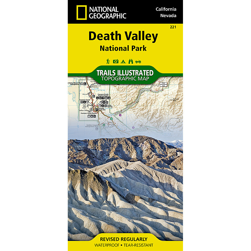
Death Valley National Park Map (National Geographic) - Hiking, Backroads & Scenic Travel Guide
$14.95
Planning a trip to Death Valley National Park? This detailed Death Valley National Park map is an essential tool for navigating one of the most unique landscapes in the world.
Whether you're exploring Badwater Basin, Zabriske Point, Dante’s View, Mesquite Flat Sand Dunes, or heading deep into the park’s backroads, having a reliable, easy-to-read map makes all the difference—especially in areas with little to no cell service.
This National Geographic map highlights key points of interest, major roads, scenic routes, and access areas for hiking, sightseeing, and backcountry travel. It’s perfect for first-time visitors, road trippers, and experienced desert explorers alike.
Why you need a physical map in Death Valley:
• Cell service is extremely limited or nonexistent throughout the park
• GPS directions can be unreliable in remote areas
• Helps you plan routes, stops, and fuel logistics ahead of time
• Safer and more dependable than relying on your phone alone
Whether you're visiting for a quick scenic drive or a multi-day adventure, this Death Valley map helps you explore with confidence.
Available now from Eastside Sports in Bishop, California—a trusted Eastern Sierra outfitter and a convenient stop on your way to Death Valley National Park.
You may also like
Recently viewed products
Subscribe
Sign up to get the latest on sales, new releases and more …