
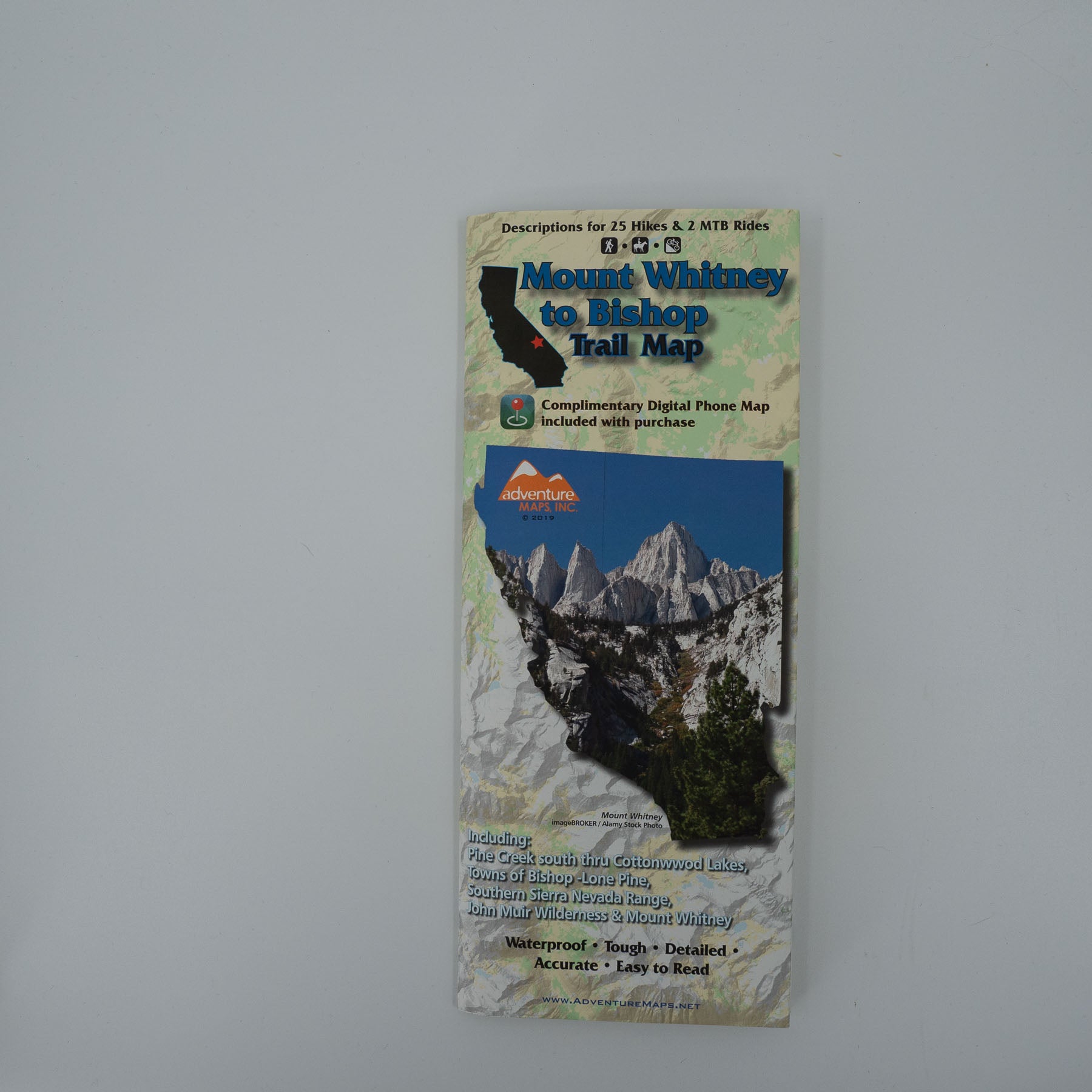
The Mt. Whitney to Bishop Adventure Map (2019) is a waterproof, topographic (lat/long,UTM grids) trail map that includes hiking and mountain bike route descriptions covering the Sierra Nevada range from just north of the town of Bishop (Pine Creek) and just south of the town of Lone Pine (Mt. Whitney and Cottonwood Lakes) including within these boundaries the Pacific Crest Trail and John Muir Trail. This map includes an inset/blow up of the Mt. Whitney trail designed specifically for Mt. Whitney hikers. The purchase of the hardcopy of this map includes a complimentary digital copy for use on your phone/device.
The Southern Sierras are home to some of the most beautiful mountains in the world including, Mt. Whitney, the highest peak in the continental U.S. This map covers the Sierra Nevada mountain range from just north of the town of Bishop and south down thru the town of Lone Pine (Mt. Whitney, Cottonwood Lakes) including within these boundaries the Pacific Crest Trail and John Muir Trail. This map includes an inset/blow up of the Mt. Whitney trail designed specifically for Mt. Whitney hikers. The purchase of the this map includes a complimentary digital copy for use on your phone/device. Each of the 25 hikes and 2 mountain bike rides described on this map were hiked and biked by Adventure Maps. The descriptions and detailed, overall view provided by the map will help you to plan the perfect day of hiking and biking. The waterproof material won’t wear-out at the seams and can withstand the elements as well as an accidental soaking from your water bottle.
Map Scale: 1:63,360, Inset/Blow Up of Mt. Whitney
Copyright 2019
https://www.adventuremaps.net/shop/product/product/mt-whitney-to-bishop-adventure-map/
Sign up to get the latest on sales, new releases and more …
The Mt. Whitney to Bishop Adventure Map (2019) is a waterproof, topographic (lat/long,UTM grids) trail map that includes hiking and mountain bike route descriptions covering the Sierra Nevada range from just north of the town of Bishop (Pine Creek) and just south of the town of Lone Pine (Mt. Whitney and Cottonwood Lakes) including within these boundaries the Pacific Crest Trail and John Muir Trail. This map includes an inset/blow up of the Mt. Whitney trail designed specifically for Mt. Whitney hikers. The purchase of the hardcopy of this map includes a complimentary digital copy for use on your phone/device.
The Southern Sierras are home to some of the most beautiful mountains in the world including, Mt. Whitney, the highest peak in the continental U.S. This map covers the Sierra Nevada mountain range from just north of the town of Bishop and south down thru the town of Lone Pine (Mt. Whitney, Cottonwood Lakes) including within these boundaries the Pacific Crest Trail and John Muir Trail. This map includes an inset/blow up of the Mt. Whitney trail designed specifically for Mt. Whitney hikers. The purchase of the this map includes a complimentary digital copy for use on your phone/device. Each of the 25 hikes and 2 mountain bike rides described on this map were hiked and biked by Adventure Maps. The descriptions and detailed, overall view provided by the map will help you to plan the perfect day of hiking and biking. The waterproof material won’t wear-out at the seams and can withstand the elements as well as an accidental soaking from your water bottle.
Map Scale: 1:63,360, Inset/Blow Up of Mt. Whitney
Copyright 2019