
Eastside Sports - Hike - Climb Run - Boulder - Camp - Backpack
Eastside Sports - Hike - Climb Run - Boulder - Camp - Backpack


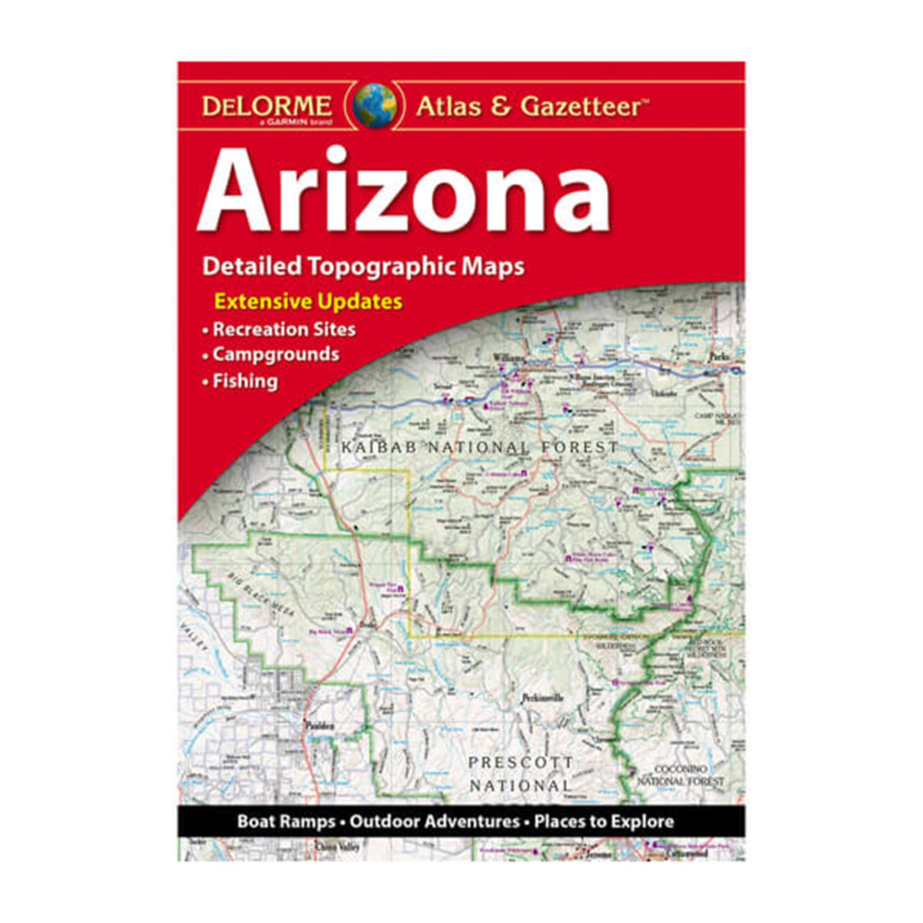


With an incredible wealth of detail, DeLorme's Atlas & Gazetteer is the perfect companion for exploring the Arizona outdoors. Extensively indexed, full-color topographic maps provide information on everything from cities and towns to historic sites, scenic drives, trailheads, boat ramps and even prime fishing spots.
With a total of 57 map pages, the Atlas & Gazetteer is your most comprehensive navigational guide to Arizona's backcountry. Full-color topographic maps provide information on everything from cities and towns to historic sites, scenic drives, recreation areas, trailheads, boat ramps and prime fishing spots.
We use these frequently and have found them great for navigating off the beaten path areas - especially secondary and dirt roads. That said, if you go too far off the pavement you'll also need real topo maps, either in paper or digital form.
Sign up to get the latest on sales, new releases and more …
With an incredible wealth of detail, DeLorme's Atlas & Gazetteer is the perfect companion for exploring the Arizona outdoors. Extensively indexed, full-color topographic maps provide information on everything from cities and towns to historic sites, scenic drives, trailheads, boat ramps and even prime fishing spots.
With a total of 57 map pages, the Atlas & Gazetteer is your most comprehensive navigational guide to Arizona's backcountry. Full-color topographic maps provide information on everything from cities and towns to historic sites, scenic drives, recreation areas, trailheads, boat ramps and prime fishing spots.
We use these frequently and have found them great for navigating off the beaten path areas - especially secondary and dirt roads. That said, if you go too far off the pavement you'll also need real topo maps, either in paper or digital form.
