
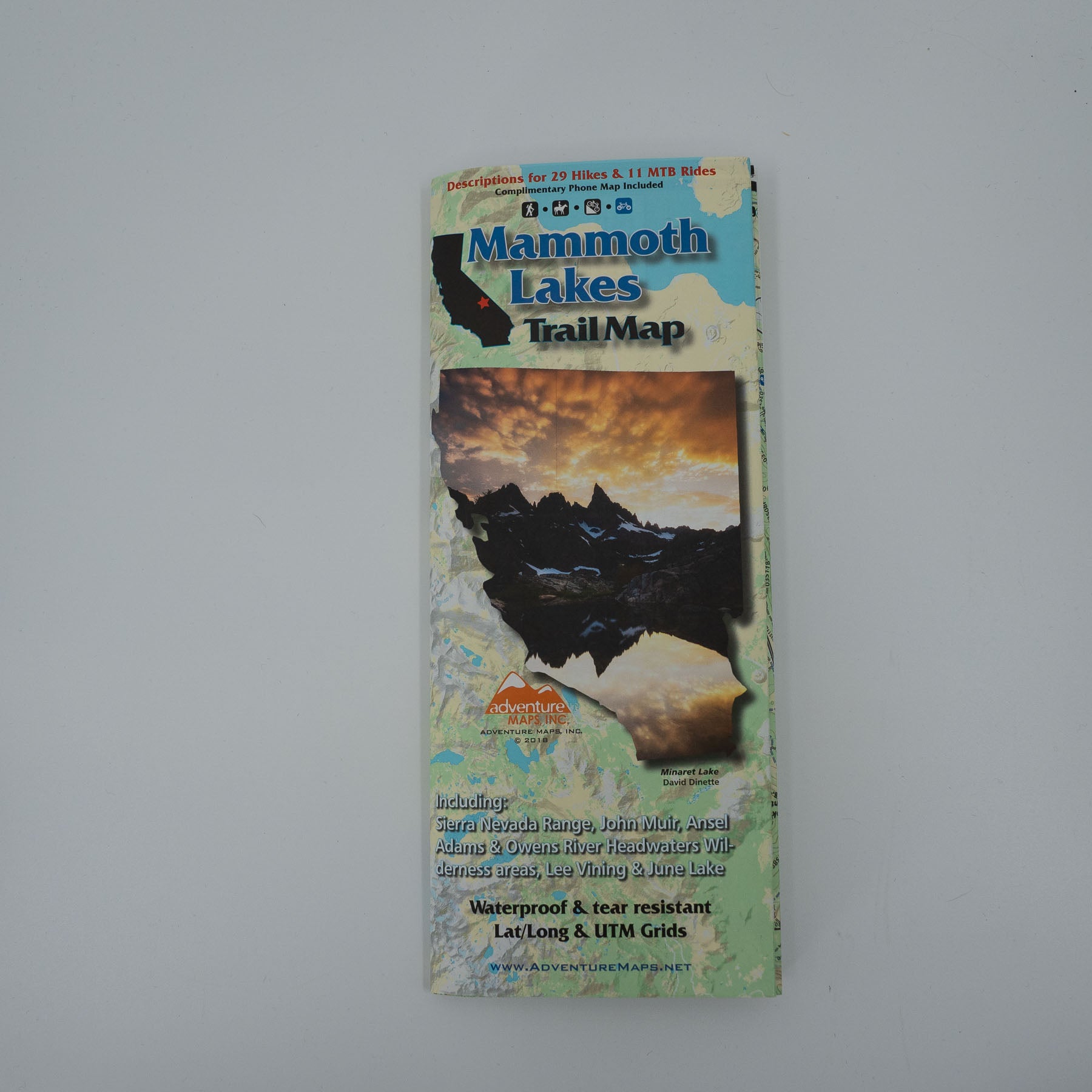
The Mammoth Lakes Adventure Map (2018 version) is a waterproof, topographic (lat/long,UTM grids) trail map that includes hiking and mountain bike route descriptions covering the areas of Lee Vining, June Lakes, Mammoth Lakes, Convict Lake, Rock Creek Lake, Pine Creek Canyon. The map also covers vast areas of the Sierra Nevada Mountain Range, John Muir Wilderness, Ansel Adams Wilderness and Owens River Headwaters Wilderness. The map includes details for 29 of the best hikes and 11 of the best mountain bike rides. The map includes a blowup of the Mammoth Lakes area. Rock Climbers, Equestrians and Fishermen will also find this map very useful as it accurately shows all streams, lakes, roads, OHV routes and land ownership boundaries.
Water/Tear Proof Map, Flat Map, and Laminated Flat Map options are available (see below). Flat and Laminated maps make nice gifts as you can hang them on a wall. The purchase of this map comes with a complimentary digital copy for use on your phone/device.
https://www.adventuremaps.net/shop/product/product/mammoth-lakes-california/
Sign up to get the latest on sales, new releases and more …
The Mammoth Lakes Adventure Map (2018 version) is a waterproof, topographic (lat/long,UTM grids) trail map that includes hiking and mountain bike route descriptions covering the areas of Lee Vining, June Lakes, Mammoth Lakes, Convict Lake, Rock Creek Lake, Pine Creek Canyon. The map also covers vast areas of the Sierra Nevada Mountain Range, John Muir Wilderness, Ansel Adams Wilderness and Owens River Headwaters Wilderness. The map includes details for 29 of the best hikes and 11 of the best mountain bike rides. The map includes a blowup of the Mammoth Lakes area. Rock Climbers, Equestrians and Fishermen will also find this map very useful as it accurately shows all streams, lakes, roads, OHV routes and land ownership boundaries.
Water/Tear Proof Map, Flat Map, and Laminated Flat Map options are available (see below). Flat and Laminated maps make nice gifts as you can hang them on a wall. The purchase of this map comes with a complimentary digital copy for use on your phone/device.