
760-873-7520 Open 9 - 6 every day except Thanksgiving and Christmas
760-873-7520 Open 9 - 6 every day except Thanksgiving and Christmas
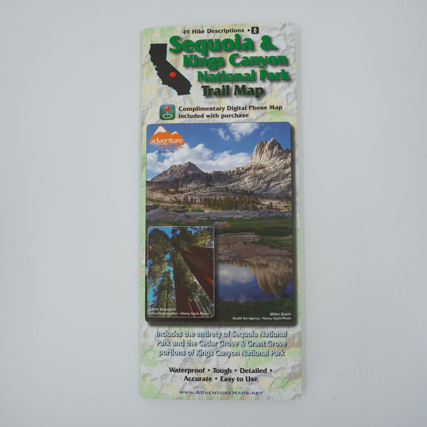
New for 2019! The Sequoia & Kings Canyon National Park Trail Map is a waterproof, topographic (lat/long,UTM grids) trail map that includes 49 hike descriptions covering the areas of Sequoia National Park in its entirety and the Grant and Cedar Grove portions of Kings Canyon National Park. The purchase of this map includes a complimentary digital copy for use on your phone/device. The map includes 49 hike descriptions ranging from short jaunts suitable for the entire family to all day epics.
This map includes insets/close ups of Cedar Grove, Grant Grove, Lodgepole, Giant Forest, and Mineral King. Waterproof/Tear Resistant Map, Flat Map, and Laminated Flat Map options are available (see below). Flat and Laminated maps make nice gifts as you can hang them on a wall. A complimentary electronic version of this map for your phone or device is included with your purchase.
Home to the largest trees on earth, craggy peaks, rushing streams and countless alpine lakes, Sequoia and Kings Canyon National Parks are packed with truly dramatic terrain. This map covers Sequoia National Park in its entirety and the Grant and Cedar Grove portions of Kings Canyon National Park. This map includes insets/close ups of Cedar Grove, Grant Grove, Lodgepole, Giant Forest, and Mineral King. The purchase of the this map includes a complimentary digital copy for use on your phone/device. Each of the 49 hikes described on this map were hiked or researched by Adventure Maps. The descriptions and detailed, overall view provided by the map will help you to plan the perfect day of hiking. The waterproof material won’t wear-out at the seams and can withstand the elements as well as an accidental soaking from your water bottle.
https://www.adventuremaps.net/shop/product/product/sequoia-kings-canyon-national-park/
Sign up to get the latest on sales, new releases and more …
New for 2019! The Sequoia & Kings Canyon National Park Trail Map is a waterproof, topographic (lat/long,UTM grids) trail map that includes 49 hike descriptions covering the areas of Sequoia National Park in its entirety and the Grant and Cedar Grove portions of Kings Canyon National Park. The purchase of this map includes a complimentary digital copy for use on your phone/device. The map includes 49 hike descriptions ranging from short jaunts suitable for the entire family to all day epics.
This map includes insets/close ups of Cedar Grove, Grant Grove, Lodgepole, Giant Forest, and Mineral King. Waterproof/Tear Resistant Map, Flat Map, and Laminated Flat Map options are available (see below). Flat and Laminated maps make nice gifts as you can hang them on a wall. A complimentary electronic version of this map for your phone or device is included with your purchase.
Home to the largest trees on earth, craggy peaks, rushing streams and countless alpine lakes, Sequoia and Kings Canyon National Parks are packed with truly dramatic terrain. This map covers Sequoia National Park in its entirety and the Grant and Cedar Grove portions of Kings Canyon National Park. This map includes insets/close ups of Cedar Grove, Grant Grove, Lodgepole, Giant Forest, and Mineral King. The purchase of the this map includes a complimentary digital copy for use on your phone/device. Each of the 49 hikes described on this map were hiked or researched by Adventure Maps. The descriptions and detailed, overall view provided by the map will help you to plan the perfect day of hiking. The waterproof material won’t wear-out at the seams and can withstand the elements as well as an accidental soaking from your water bottle.